
Urban Planning
Give planning teams a current view of the city. Drone imagery and 3D reality models bring terrain, buildings and development proposals into one spatial context.
Get offerPain points
—Land use decisions often rely on satellite images, paper maps and surveys captured at different dates and resolutions.
—Dense urban areas make conventional data collection slow and difficult to repeat as conditions change.
Advantages
✓Recent orthomosaics and 3D models make design reviews and GIS overlays easier to interpret.
✓Repeatable flight plans provide consistent site records while reducing field time across large areas.
Choose the capture platform for the project
From a compact mapping kit to a full-frame aerial survey, the right configuration depends on the area, required detail, terrain and deliverables.
DJI Matrice 4E + DJI Terra
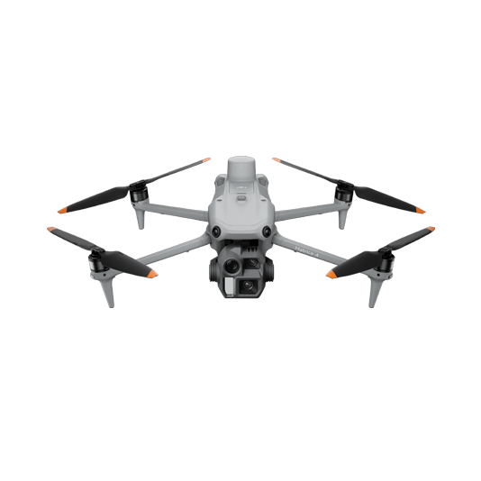
A compact, single-operator platform for planned image capture. RTK positioning and a mechanical shutter support detailed 2D and 3D deliverables.
- Portable deployment for regular mapping missions
- Terrain-following capture where the site demands it
- DJI Terra processing for orthomosaics and 3D models

DJI Matrice 400 + Zenmuse P1
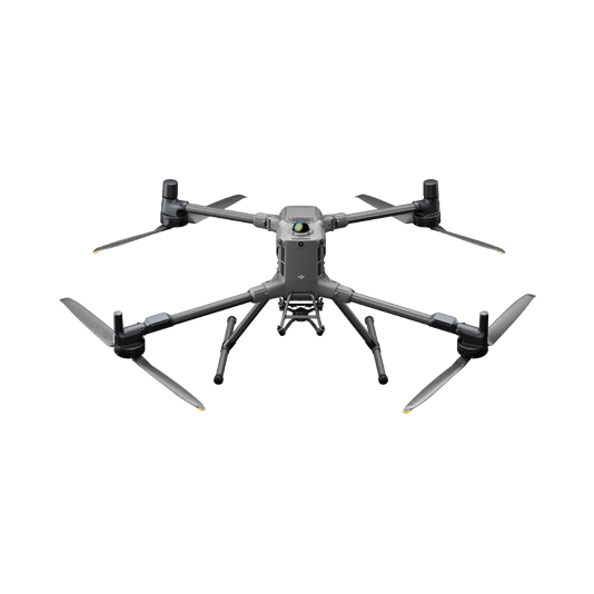
A larger platform paired with a full-frame camera for extensive or demanding mapping projects. DJI Terra completes the processing workflow.
- Zenmuse P1 45 MP full-frame image capture
- Smart oblique imagery for detailed 3D reconstruction
- Robust platform for complex operating environments
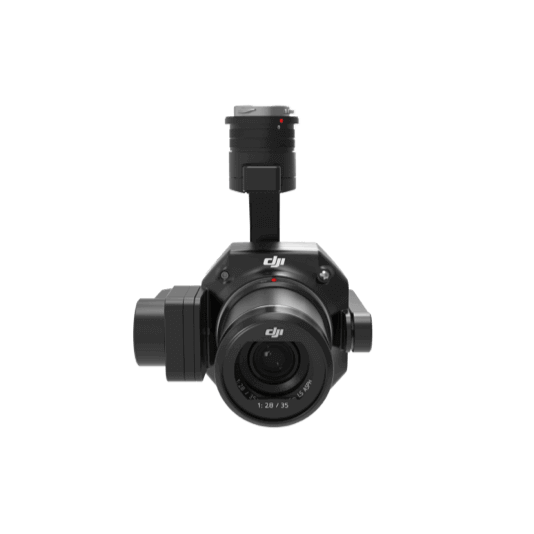 Zenmuse P1 · full-frame payload
From flight plan to planning decision
01 · Capture
Define the survey boundary and plan nadir or oblique flights. Use terrain following when elevation changes require consistent ground sampling.
02 · Process
Bring the images into DJI Terra to build an orthomosaic, elevation surface, point cloud or 3D reality model according to the brief.
03 · Apply
Combine the deliverables with GIS or CAD layers to assess land use, access, infrastructure and proposed development.
More applications
Plan your urban mapping project
Tell us the site size, intended use and required output. ATTEX can recommend a platform, payload and processing workflow suited to the brief.
Get offer