
Facade High Wall
Build current, georeferenced models of mine walls while limiting the need for surveyors to work close to steep faces.
Get offerPain points
—High-wall measurement can expose personnel to unstable ground and difficult access.
—Large mine sites make repeated ground surveys slow.
—A lack of detailed wall models can delay identification of change.
Advantages
✓Aerial capture keeps teams farther from the face while recording its geometry.
✓Planned missions make frequent surveys more practical.
✓Georeferenced imagery and 3D models support comparison over time.
Portable high-wall mapping
Use a compact mapping aircraft and processing software to document steep faces in detail.
DJI Matrice 4E + DJI Terra
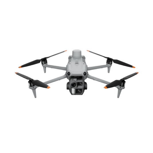
Plan oblique and slope routes for high-wall imagery, then reconstruct the face as a measurable model.
- Rapid deployment across mining sites
- Terrain-aware capture on varied elevation
- Orthomosaics, point clouds and 3D surfaces

Document the face safely
01 · Capture
Plan 2D, oblique or slope routes to cover the wall from suitable viewpoints.
02 · Process
Build orthomosaics, digital surfaces, point clouds and 3D models in DJI Terra.
03 · Review
Compare georeferenced outputs and use the preferred analysis tools for site decisions.
More applications
Discuss facade high wall
Tell ATTEX about the site, operating conditions and required deliverables. We can propose a suitable aircraft, payload and software workflow.
Get offer