
Mining Survey
Survey pits, terrain and stockpiles with repeatable aerial data while keeping personnel away from exposed areas.
Get offerPain points
—Mine sites are large, remote and often difficult to survey safely on foot.
—Conventional measurements demand significant time and site access.
—Inconsistent capture can make change and volume comparisons unreliable.
Advantages
✓Aerial missions cover extensive and hazardous terrain more efficiently.
✓Digital models and point clouds support surface and stockpile analysis.
✓Repeatable missions improve consistency between survey dates.
Portable survey or full-frame capture
Choose a compact mapping setup for routine site work or a larger full-frame platform for demanding coverage and detail.
DJI Matrice 4E + DJI Terra
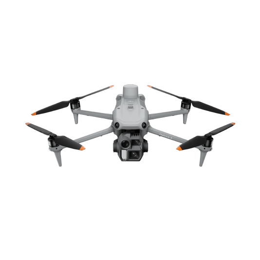
A single-operator mapping kit for regular pit and stockpile records across multiple sites.
- Terrain-following collection on varied ground
- Orthomosaics, surface models and point clouds
- Volume measurements from processed data

DJI Matrice 400 + Zenmuse P1
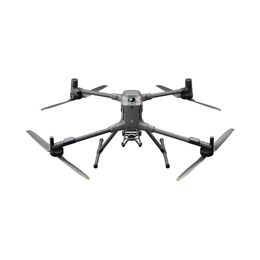
Full-frame image capture supports extensive surveys where detailed, accurate 3D reconstruction is required.
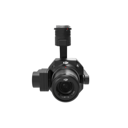
- 45 MP full-frame Zenmuse P1 sensor
- Smart oblique capture for complex terrain
- DJI Terra processing and analysis
A current digital model of the site
01 · Capture
Plan a repeatable mission over pits, stockpiles and relevant assets.
02 · Process
Create an orthomosaic, surface model and point cloud in DJI Terra.
03 · Analyze
Compare survey dates, annotate features and calculate quantities for operations teams.
More applications
Discuss mining survey
Tell ATTEX about the site, operating conditions and required deliverables. We can propose a suitable aircraft, payload and software workflow.
Get offer