
Earthwork
Measure stockpiles and earth movement from aerial data so quantities and site changes stay visible throughout the project.
Get offerPain points
—Infrequent stockpile measurements can leave supply and scheduling decisions based on old figures.
—Walking large or uneven sites takes time and exposes surveyors to avoidable hazards.
—Manual measurement methods can vary between visits.
Advantages
✓Frequent point clouds and surface models provide a current basis for volume calculations.
✓Aerial capture covers the area efficiently with less time spent on exposed ground.
✓Repeatable flight plans help keep measurements comparable.
Choose portable or scheduled measurement
The right setup depends on how often quantities change and whether the site needs unattended collection.
DJI Matrice 4E + DJI Terra
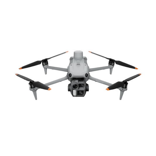
Capture stockpiles and terrain on demand, then process a point cloud and measure volumes or export to earthwork software.
- Compact aircraft for changing worksites
- RTK imagery for consistent reconstruction
- 3D models and point clouds for cut-and-fill review

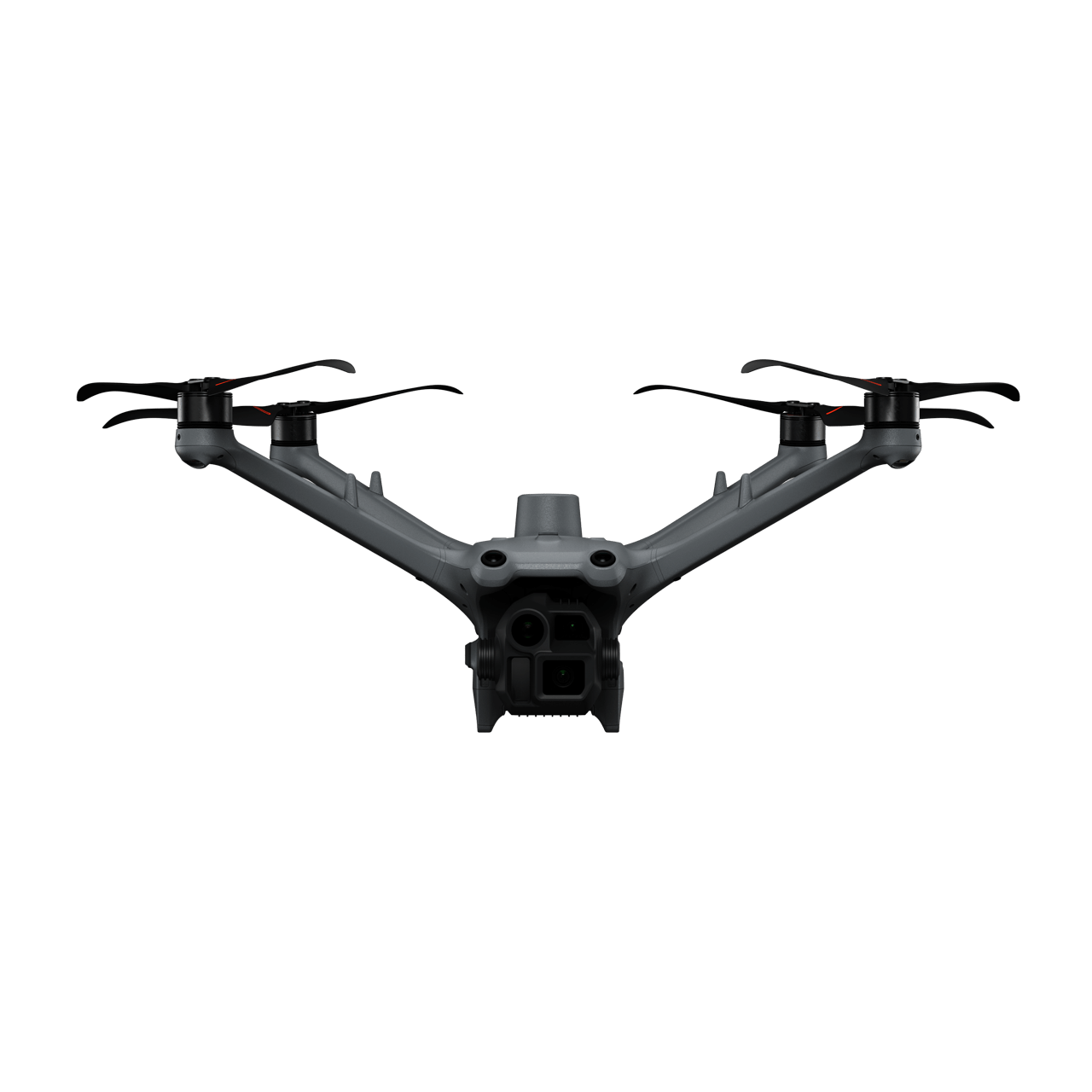
DJI Dock 3 + Matrice 4D
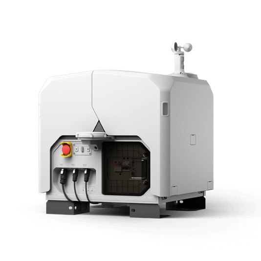
Schedule recurring surveys and use FlightHub 2 to keep site records available to the wider team.
- Remote collection on an agreed schedule
- Regular digital surface and point-cloud outputs
- Comparison of current measurements with design files

From terrain capture to quantities
01 · Capture
Fly a planned mapping mission across the stockpiles or excavation.
02 · Process
Generate an orthomosaic, surface model and dense point cloud from the images.
03 · Measure
Calculate stockpile volumes and cut-and-fill differences in the chosen analysis software.
More applications
Discuss earthwork
Tell ATTEX about the site, operating conditions and required deliverables. We can propose a suitable aircraft, payload and software workflow.
Get offer