
Wildlife Protection
Use aerial observation and mapping to support conservation teams across large or hard-to-reach habitats.
Get offerPain points
—Large habitats are difficult to monitor consistently from the ground.
—Field teams may need to assess activity without entering sensitive areas.
—Dispersed observations can be hard to compare over time.
Advantages
✓Survey broad areas with planned aerial routes.
✓Visual and thermal views provide complementary information.
✓Share mapped observations with conservation partners.
Monitoring and mapping configurations
Select portable observation, repeatable remote missions or detailed terrain mapping according to the project.
Matrice 4T
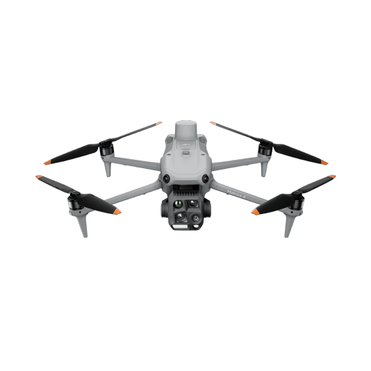
Portable visual and thermal observation for field teams working at suitable distances.
- Quick deployment
- Visual and thermal context
- Record georeferenced observations
DJI Dock 3 + FlightHub 2
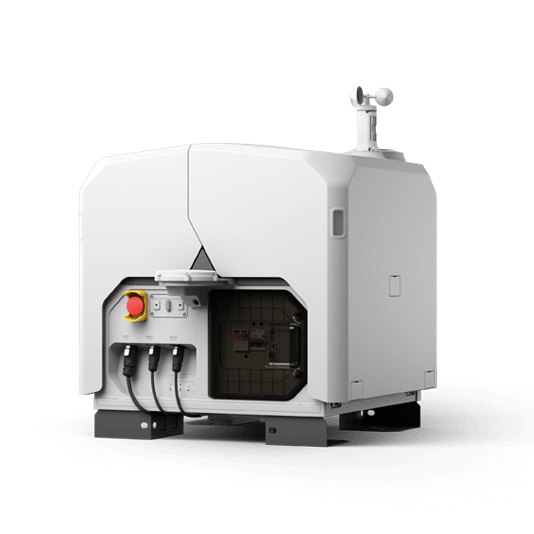
Schedule aerial checks at an established site and review the results remotely.
- Consistent routes
- Centralized imagery
- Remote mission coordination
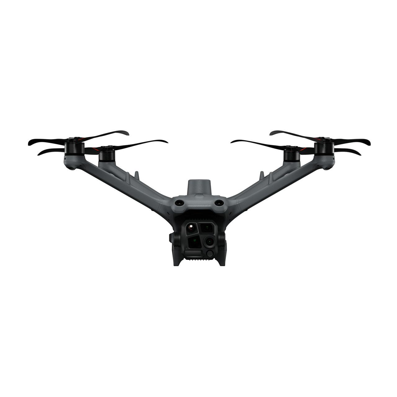

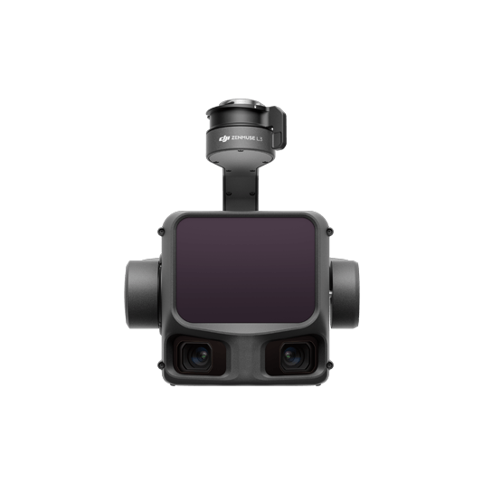
Matrice 400 + Zenmuse L3
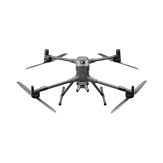
Capture detailed terrain and canopy data for habitat documentation and change analysis.
- LiDAR and RGB data
- Terrain and vegetation models
- Long-term comparison

A careful monitoring programme
01 · Define
Set survey area, flight permissions and sensitive habitat limits.
02 · Observe
Capture appropriate imagery or mapping data on repeatable routes.
03 · Compare
Review changes and share findings with the field team.
More applications
Discuss wildlife protection
Tell ATTEX about the site, operating conditions and required deliverables. We can propose a suitable aircraft, payload and software workflow.
Get offer