
Forestry
Survey extensive forest areas and build a digital picture of terrain, canopy and stand structure.
Get offerPain points
—Field inventory over rugged terrain takes significant time and manpower.
—Ground methods cannot easily show a complete view of the forest and its surroundings.
Advantages
✓Aerial missions reach difficult areas and cover large stands efficiently.
✓LiDAR point clouds and digital terrain models support structured inventory.
LiDAR forest inventory
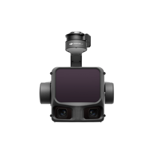
Matrice 400 with Zenmuse L3 collects canopy and ground information, while DJI Terra prepares the outputs for analysis.
DJI Matrice 400 + Zenmuse L3
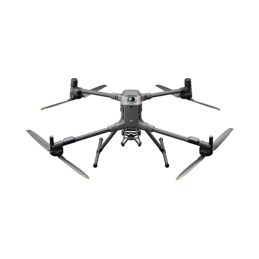
Combine LiDAR scanning and RGB imagery to document forest height, structure and the ground beneath vegetation.
- Detailed 3D point cloud records
- Digital elevation and surface models
- Classification for further forest analysis

From forest flight to inventory
01 · Capture
Plan a mapping mission for the stands and terrain of interest.
02 · Process
Reconstruct and classify the point cloud in DJI Terra.
03 · Analyze
Use terrain and canopy outputs in forestry software for inventory and management decisions.
More applications
Discuss forestry
Tell ATTEX about the site, operating conditions and required deliverables. We can propose a suitable aircraft, payload and software workflow.
Get offer