
Precision Agriculture
Collect timely, georeferenced field data to understand crop variability and guide targeted decisions.
Get offerPain points
—Field scouting alone can miss small or scattered areas needing attention.
—Manual sampling limits how frequently entire fields can be checked.
—Visual observation provides only part of the picture of crop condition.
Advantages
✓Aerial surveys cover large areas and locate observations on a map.
✓Repeatable flights reveal changes across the growing season.
✓RGB, multispectral and LiDAR data support different agronomic questions.
Five ways to capture field intelligence
Choose the sensor and deployment method for stand count, vegetation health, biomass or regular monitoring.
DJI Matrice 4E
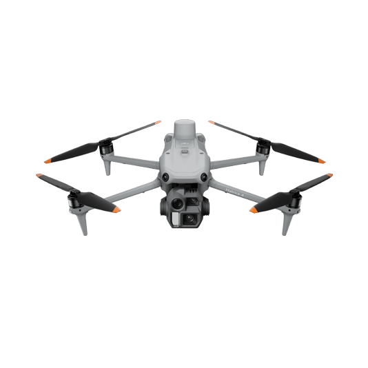
Capture high-detail RGB imagery for mapping and compatible third-party stand count analysis.
- Portable field deployment
- Georeferenced crop imagery
- Data suitable for targeted analysis

DJI Mavic 3M

Collect RGB and multispectral bands in one mission to examine vegetation indices and create prescription maps.
- Green, red, red-edge and near-infrared capture
- Field health comparison over time
- DJI Terra processing for analysis
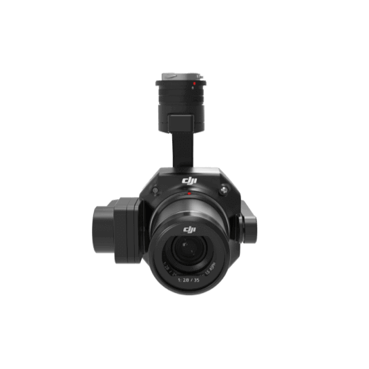
DJI Matrice 400 + Zenmuse P1
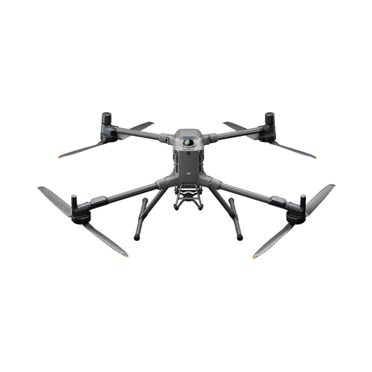
Full-frame imagery supports detailed views of crop structure and selected image-based detection models.
- Large-area high-resolution surveys
- 45 MP full-frame capture
- Compatible third-party analysis workflows
DJI Matrice 400 + Zenmuse L3
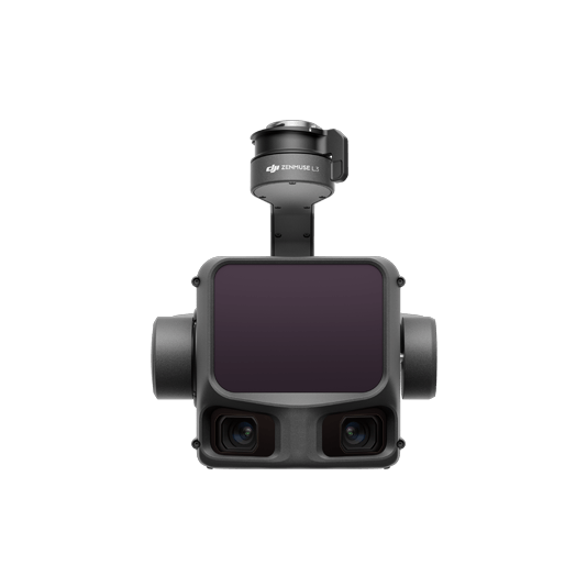
LiDAR and RGB data provide 3D structure for volume, terrain and biomass-related analysis.
- Point clouds and surface models
- Survey extensive fields efficiently
- Export for specialist classification tools
DJI Dock 3 + FlightHub 2
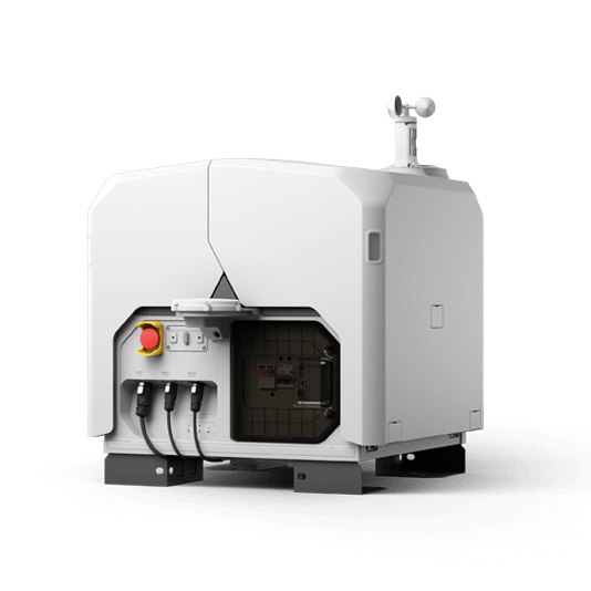
Scheduled missions provide repeatable imagery for long-term monitoring without a visit for every flight.
- Frequent capture across the season
- Remote mission management
- Share results with agronomy teams

Turn field data into action
01 · Capture
Set the crop question, sensor and repeatable flight plan.
02 · Process
Create field maps, vegetation indices or point clouds with suitable software.
03 · Decide
Review variability and export results for crop management or prescription workflows.
More applications
Discuss precision agriculture
Tell ATTEX about the site, operating conditions and required deliverables. We can propose a suitable aircraft, payload and software workflow.
Get offer