
Disaster Prevention and Response
Collect current terrain, visual and thermal information to support preparation, response and recovery.
Get offerPain points
—Outdated terrain records weaken response planning.
—Ground teams may enter a changing scene without a current overview.
—Damage assessments can take time and be hard to share.
Advantages
✓Provide aerial context and current digital models.
✓Share live observations to guide resources.
✓Document impact for recovery planning.
Rapid reconnaissance and mapping
DJI combines portable thermal response, rugged multisensor observation and mapping before or after an event.
Matrice 4T
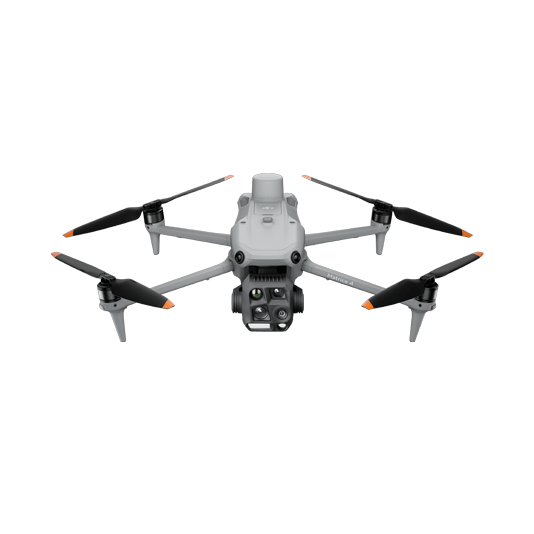
Visual and thermal views for prompt initial assessment of affected areas.
- Rapid deployment
- Thermal inspection of points of interest
- Photo and video documentation
Matrice 30T + FlightHub 2
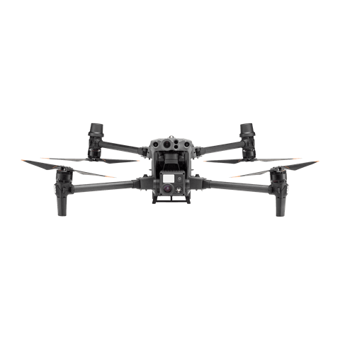
A rugged platform for thermal and zoom observations with shared location context.
- Visual and thermal sensors
- Laser ranging and pinpoint sharing
- Operational imagery for teams

Matrice 4E + DJI Terra
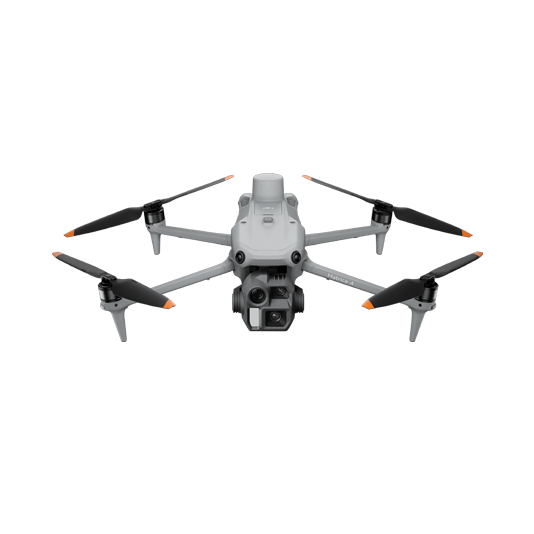
Capture imagery for orthomosaics and 3D models that help compare conditions and plan recovery.
- Planned mapping missions
- 2D and 3D reconstruction
- Shareable impact assessment

Prepare, respond, document
01 · Prepare
Keep routes, site context and mapping priorities ready.
02 · Respond
Capture current visual or thermal observations and share them with teams.
03 · Assess
Process maps and models to support damage assessment and recovery.
More applications
Discuss disaster prevention and response
Tell ATTEX about the site, operating conditions and required deliverables. We can propose a suitable aircraft, payload and software workflow.
Get offer