
Progress Management
Keep construction progress visible with repeatable aerial records that teams can measure, compare and share.
Get offerPain points
—Site teams lack current, consistent visual records of work in progress.
—Information moves slowly between the field, project managers and other stakeholders.
—Late discovery of deviations can mean additional cost and rework.
Advantages
✓Frequent 2D maps and 3D models make changes easier to see against earlier surveys.
✓A shared aerial record gives teams a clearer basis for coordination.
✓Regular capture helps spot differences while there is still time to act.
Routine monitoring or portable survey
Select an automated dock workflow for frequent site records or a compact aircraft for visits across several locations.
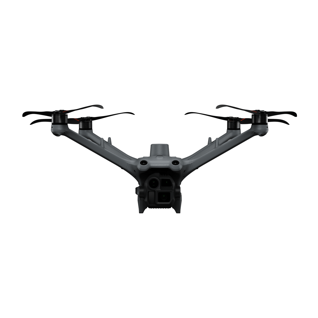
DJI Dock 3 + Matrice 4D
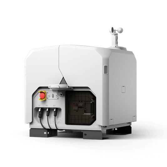
Plan recurring missions and review new maps in DJI FlightHub 2 for timely construction oversight.
- Scheduled flights over the same project area
- Repeatable image capture and 3D outputs
- Remote review and sharing through FlightHub 2

DJI Matrice 4E + DJI Terra
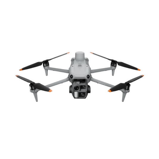
A compact kit for teams surveying multiple construction sites and processing their maps and models locally.
- RTK and mechanical shutter for detailed imagery
- Orthomosaics, point clouds and 3D models
- Outputs suitable for comparison in project software

A consistent record of the build
01 · Capture
Schedule or fly the same area at agreed milestones with a repeatable mission.
02 · Process
Turn imagery into current orthomosaics, elevation data, point clouds or 3D models.
03 · Compare
Review the latest survey against previous data and the project plan; share findings with the team.
More applications
Discuss progress management
Tell ATTEX about the site, operating conditions and required deliverables. We can propose a suitable aircraft, payload and software workflow.
Get offer