
Heritage Preservation
Record historic structures and sites in accurate digital form for documentation, research and conservation planning.
Get offerPain points
—Incomplete visual records make it harder to document fragile structures and track change.
—Ground-based measurement of roofs, façades and elevated details can be slow and risky.
Advantages
✓Detailed 2D and 3D records help teams plan interventions and retain a digital reference.
✓Aerial collection reaches difficult viewpoints while reducing work at height.
An integrated digital heritage workflow
A portable mapping aircraft captures the site; processing and model editing tools turn the imagery into a usable record.
DJI Matrice 4E + DJI Terra
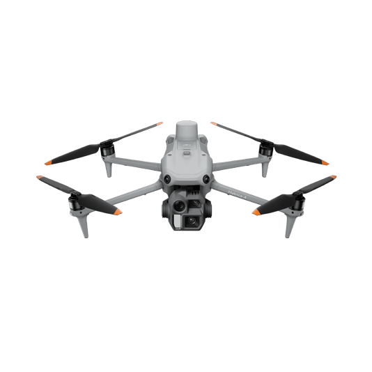
Plan tailored capture around the structure and build a detailed 3D model for review and measurement.
- Compact single-operator deployment
- RTK and mechanical shutter for consistent capture
- High-detail model and orthomosaic outputs

DJI Modify

Clean and refine reconstruction results to create a clearer digital reference for conservation teams.
- Edit point clouds and mesh defects
- Prepare models for presentation and study
- Share a consistent digital record
Document, refine and share
01 · Capture
Plan flights around elevations, façades and site access limits.
02 · Reconstruct
Process imagery in DJI Terra to create a 3D reality model.
03 · Refine
Use DJI Modify where needed and export the model for research and conservation records.
More applications
Discuss heritage preservation
Tell ATTEX about the site, operating conditions and required deliverables. We can propose a suitable aircraft, payload and software workflow.
Get offer