
Crop Mapping
Turn aerial observations into field maps that help plan agronomic checks and targeted work.
Get offerPain points
—Scattered field scouting leaves gaps in the picture.
—Crop variation can be difficult to quantify from the ground.
—Field boundaries and obstacles need accurate representation.
Advantages
✓Survey broad fields in a consistent mission.
✓Compare multispectral and RGB observations.
✓Use maps to guide scouting and suitable variable-rate operations.
From crop maps to a suitable Agras application
DJI Mavic 3M captures RGB and multispectral data for field analysis. After ground checks, a prescription map can guide variable-rate work with a selected Agras aircraft where the crop and treatment programme support it.
DJI Mavic 3M

Compare crop condition across the field with RGB and multispectral imagery. Review vegetation indices together with ground observations before drawing conclusions.
- RGB and four multispectral bands
- Repeatable surveys through the season
- Maps for targeted field checks
DJI Agras T100

Use an approved prescription workflow to transfer suitable management zones into a mission for the 100 L Agras T100. Validate the plan and application parameters in the field.
- 100 L spraying tank
- Up to 30 L/min standard or 40 L/min with four sprinklers
- Mission records for review
DJI Agras T70P

For medium and large fields, the T70P pairs a 70 L tank with planned treatment routes. Select settings according to the approved product, crop and local conditions.
- 70 L spraying tank
- 30 L/min standard, up to 40 L/min with four sprinklers
- Safety System 3.0 obstacle awareness
DJI Agras T55
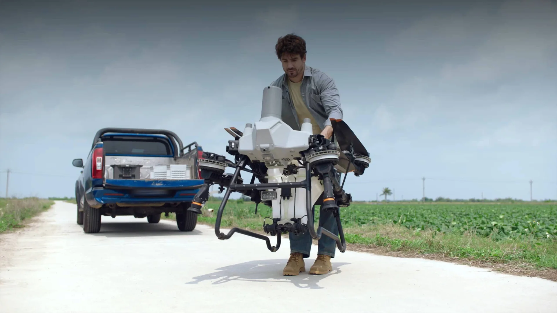
Where the field and approved treatment call for it, use a validated map and flight plan with the 50 L Agras T55. Review the completed coverage alongside the original crop observations.
- 50 L spraying tank
- Up to 40 L/min standard, 50 L/min with four nozzles
- Terrain-following capabilities
Collect, interpret, act
01 · Capture
Plan a consistent flight with suitable light and field coverage.
02 · Interpret
Review crop indices alongside RGB imagery and field observations.
03 · Apply
Share findings for scouting or prepare an appropriate prescription mission.
More applications
Discuss crop mapping
Tell ATTEX about the site, operating conditions and required deliverables. We can propose a suitable aircraft, payload and software workflow.
Get offer